


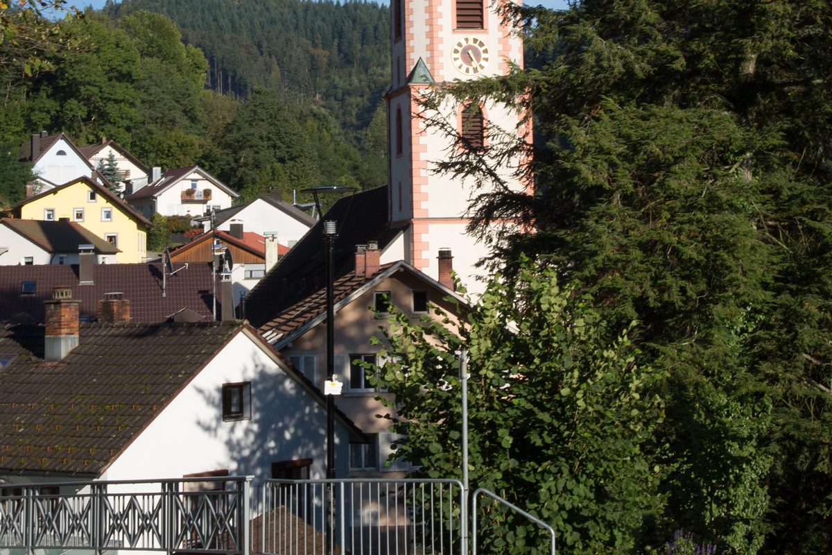
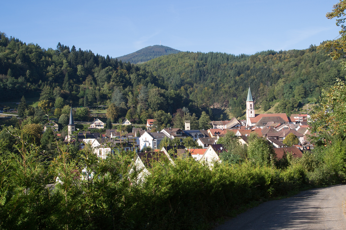
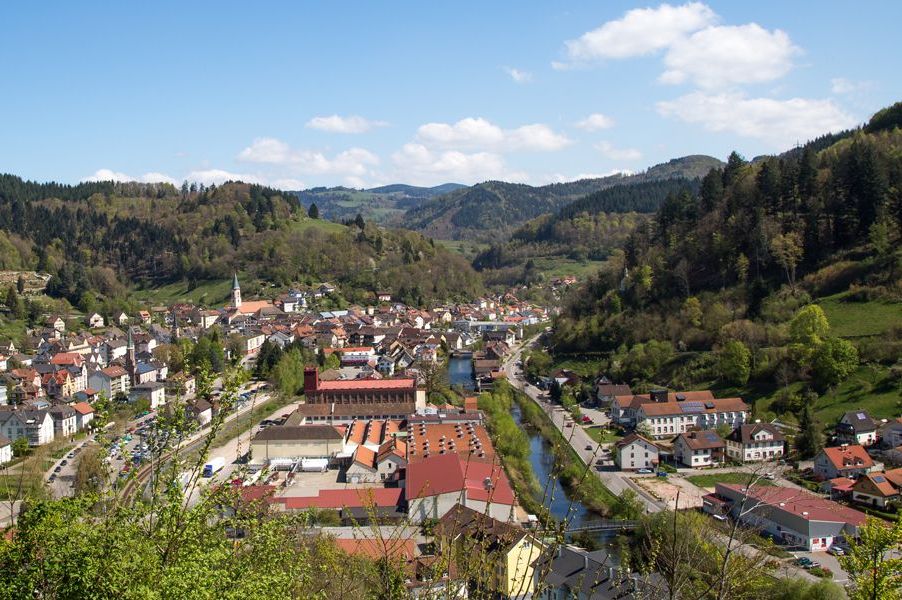
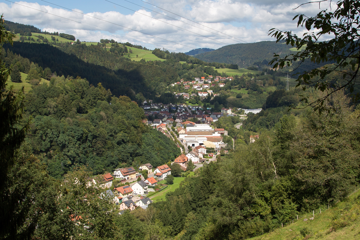
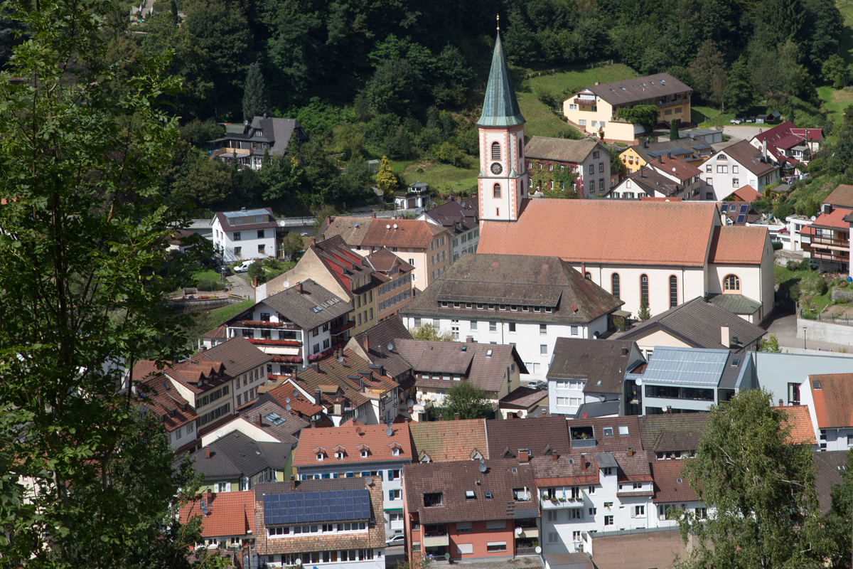
Our little town - Zell im Wiesental
The geographical centre of Wiesental
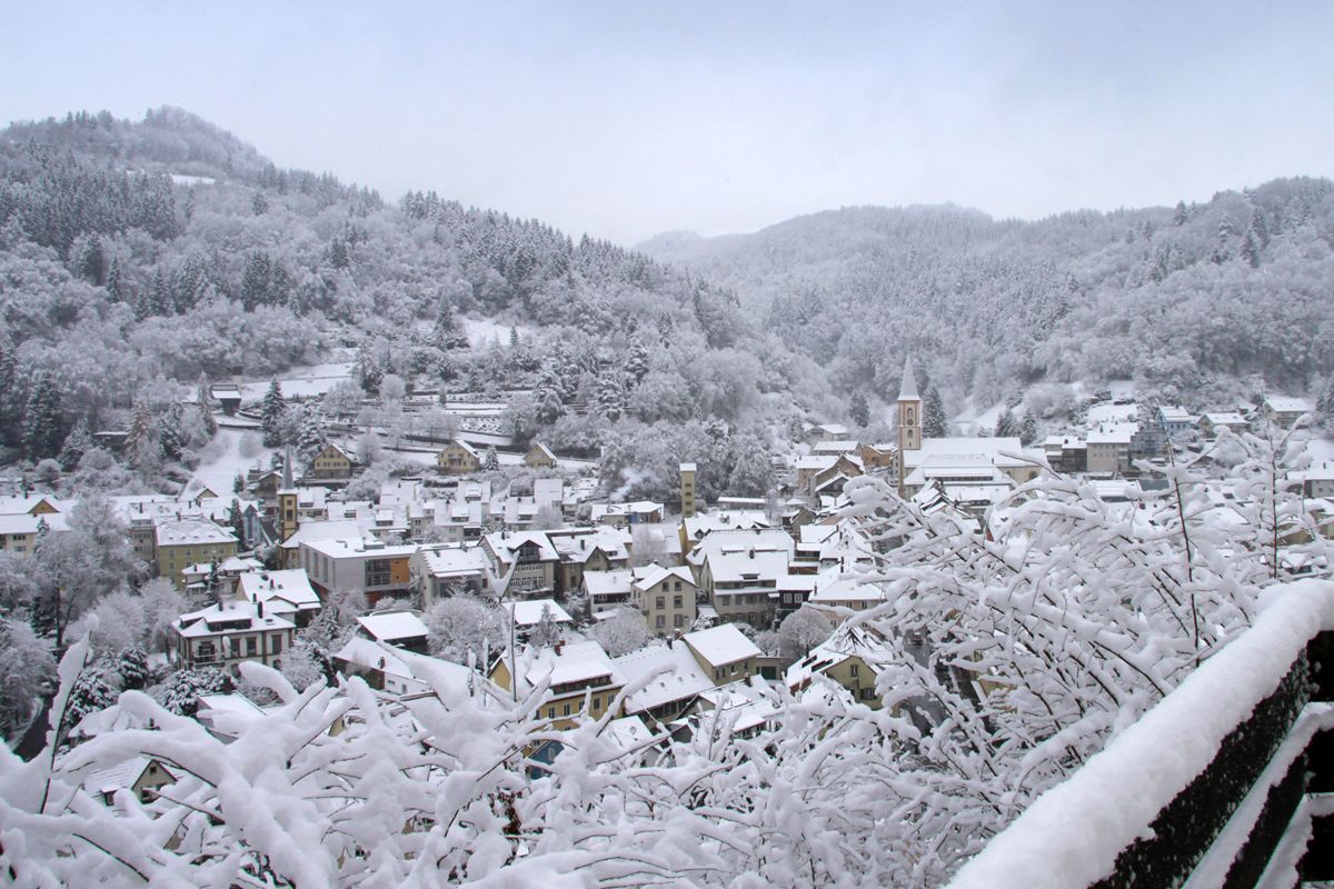
The town has approx. 6,000 residents and lies in the centre of a basin-shaped dale, the Zeller Basin, surrounded by 600 m high mountains with some climbing to over 1,000 m. The pasture pervades the place and divides it into two halves.
As it were, Zell is surrounded by three local mountains: the 985 m high Hohe Möhr to the south, which offers a fantastic panoramic view with its tower, the nearby Schänzle (686 m) to the north, and the Zeller Blauen which lies in the Adelsberg-Blauen cadastral district and is one of the most beautiful still undiscovered Black Forest mountains at a height of 1,079 m.
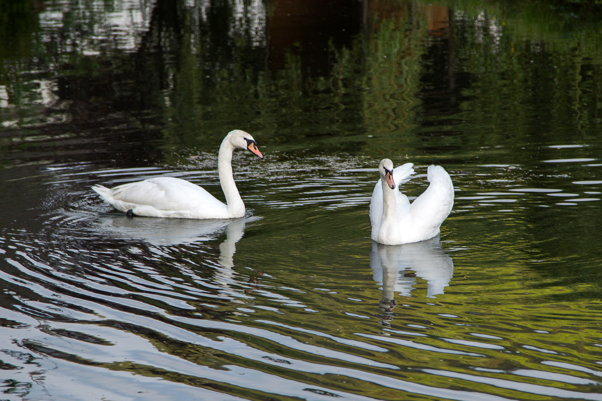
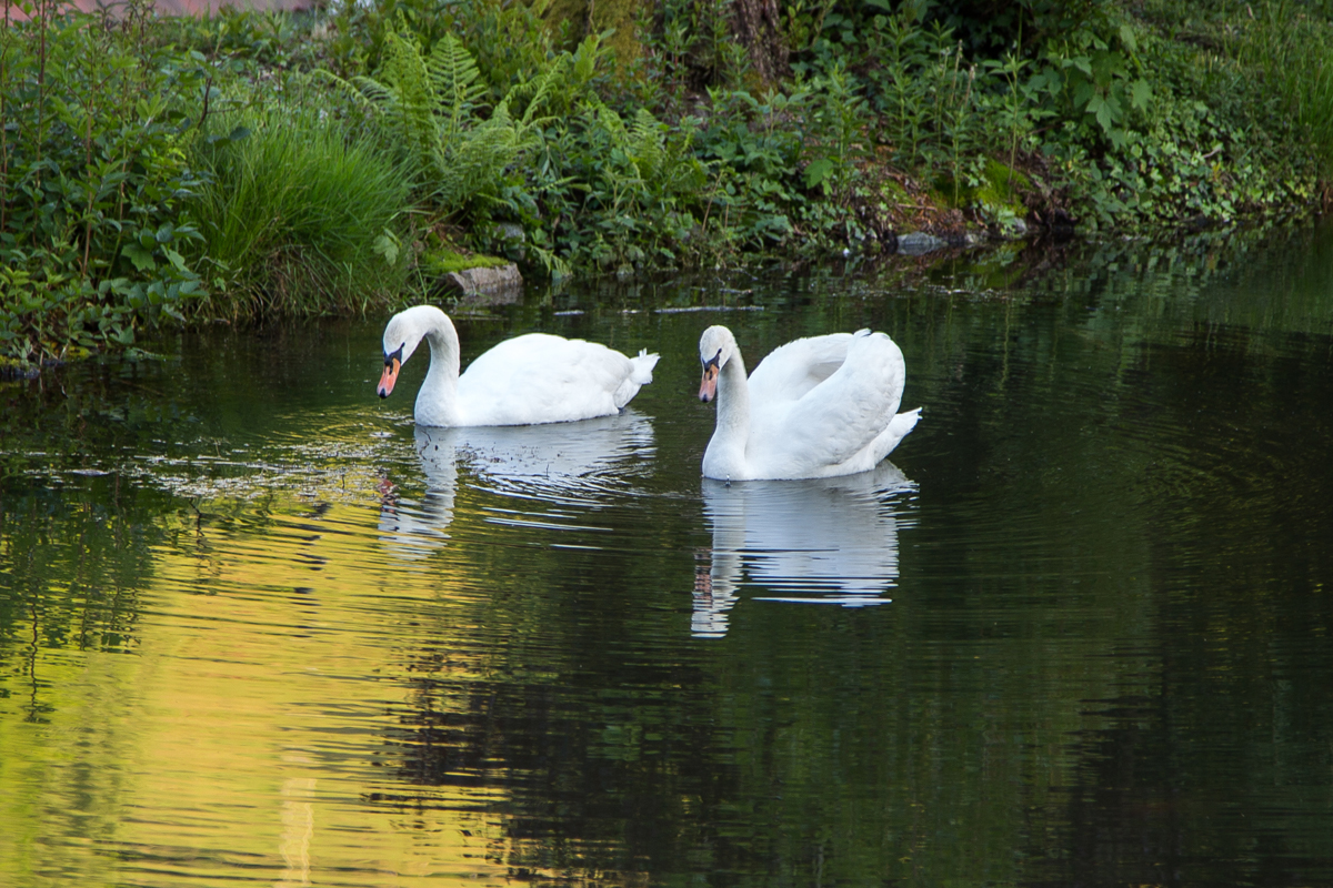
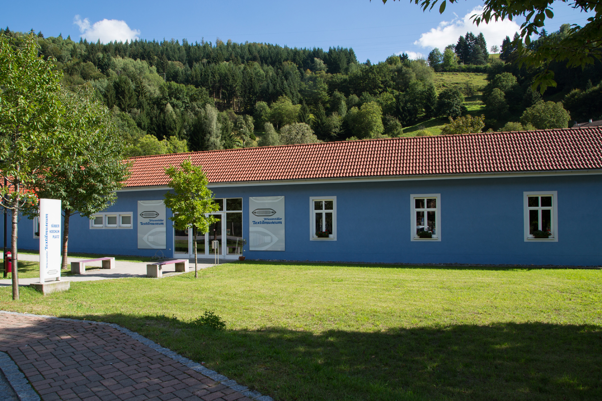
Even on sunny days, the textile museum offers interesting things about early textile production directly in the town itself. The swan pond, embedded in a small park landscape, is a place of relaxation hidden in the heart of the town as a spot for you to just relax for a bit.
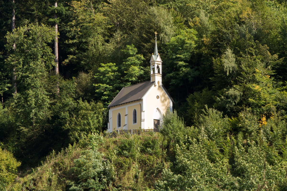
The current town of Zell owes its establishment to the Fridolin monks of the Bad Säckingen monastery. Around the year 1000, the monks first built a cella, a small wooden chapel, to which they added one or more cells as a residence - that is where the name of the current town comes from.
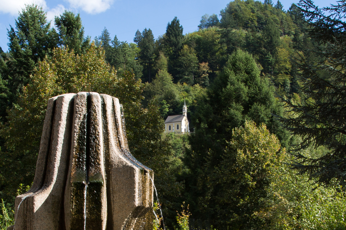
Impressions from Zell and the beautiful Wiesental
-
 Hotel Restaurant Löwen - Zell im Wiesental Hotel Restaurant Löwen - Zell im Wiesental
 -
 Hotel Restaurant Löwen - Zell im Wiesental Hotel Restaurant Löwen - Zell im Wiesental
 -
 Hotel Restaurant Löwen - Zell im Wiesental Hotel Restaurant Löwen - Zell im Wiesental
 -
 Hotel Restaurant Löwen - Zell im Wiesental Hotel Restaurant Löwen - Zell im Wiesental
 -
 Hotel Restaurant Löwen - Zell im Wiesental Hotel Restaurant Löwen - Zell im Wiesental
 -
 Hotel Restaurant Löwen - Zell im Wiesental Hotel Restaurant Löwen - Zell im Wiesental
 -
 Hotel Restaurant Löwen - Zell im Wiesental Hotel Restaurant Löwen - Zell im Wiesental
 -
 Hotel Restaurant Löwen - Zell im Wiesental Hotel Restaurant Löwen - Zell im Wiesental
 -
 Hotel Restaurant Löwen - Zell im Wiesental Hotel Restaurant Löwen - Zell im Wiesental
 -
 Hotel Restaurant Löwen - Zell im Wiesental Hotel Restaurant Löwen - Zell im Wiesental
 -
 Hotel Restaurant Löwen - Zell im Wiesental Hotel Restaurant Löwen - Zell im Wiesental
 -
 Hotel Restaurant Löwen - Zell im Wiesental Hotel Restaurant Löwen - Zell im Wiesental
 -
 Hotel Restaurant Löwen - Zell im Wiesental Hotel Restaurant Löwen - Zell im Wiesental
 -
 Hotel Restaurant Löwen - Zell im Wiesental Hotel Restaurant Löwen - Zell im Wiesental
 -
 Hotel Restaurant Löwen - Zell im Wiesental Hotel Restaurant Löwen - Zell im Wiesental
 -
 Hotel Restaurant Löwen - Zell im Wiesental Hotel Restaurant Löwen - Zell im Wiesental
 -
 Hotel Restaurant Löwen - Zell im Wiesental Hotel Restaurant Löwen - Zell im Wiesental
 -
 Hotel Restaurant Löwen - Zell im Wiesental Hotel Restaurant Löwen - Zell im Wiesental
 -
 Hotel Restaurant Löwen - Zell im Wiesental Hotel Restaurant Löwen - Zell im Wiesental
 -
 Hotel Restaurant Löwen - Zell im Wiesental Hotel Restaurant Löwen - Zell im Wiesental